Locations
Every documented place in the Hajin Exclusion Zone, with threat levels and what each area holds.
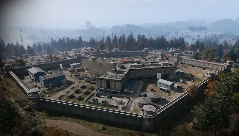
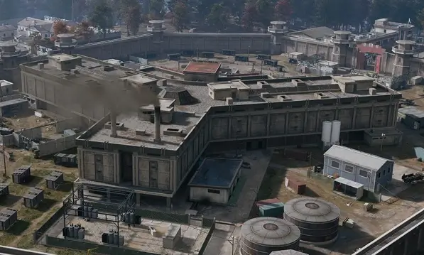
A concrete-walled detention facility on a cleared plateau in the North Korean northwest, with watchtowers on every corner, barracks to the east and the main gate and checkpoint to the south.
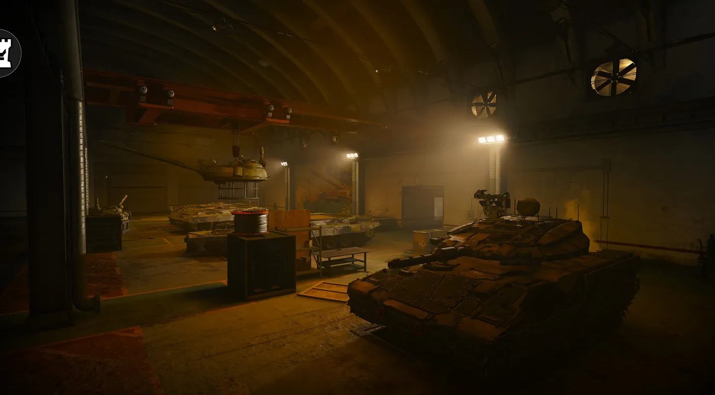
The tunnel and bunker network under the hillside south of the base, larger than the base above it.
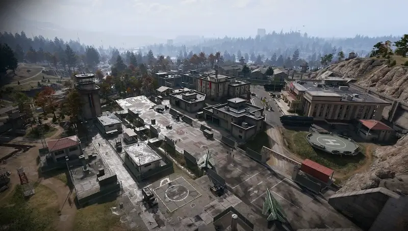
A heavily guarded North Korean air base in western Hajin, cut into a granite hillside, with a runway, helipad, hospital, barracks and command building above a vast underground complex.
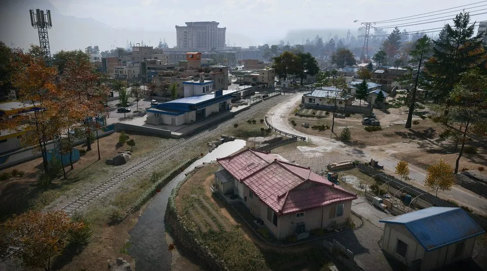
The northernmost South Korean village on the Hajin River, split by border controls, with outskirts to the west and the Heavenly Luck Casino at its heart.
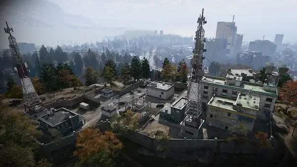
The largest telecommunications array in Hajin, on a central summit, now an enemy barracks with a rooftop helipad and long views.
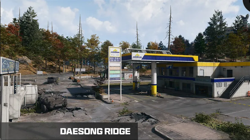
A rural settlement northeast of Imjin Farmland, its shelled road lined with burnt-out APCs.
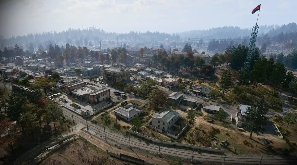
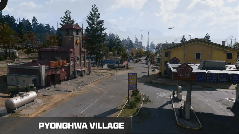
A deserted North Korean farming town in the southwest, taken over by the military. Street fights, sewers under the old buildings, a clinic and gas stations at each end of town.
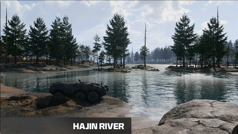
The river’s tributaries rise in the western mountains and run east and south to the sea near the Reactor and Songdo Wharf.
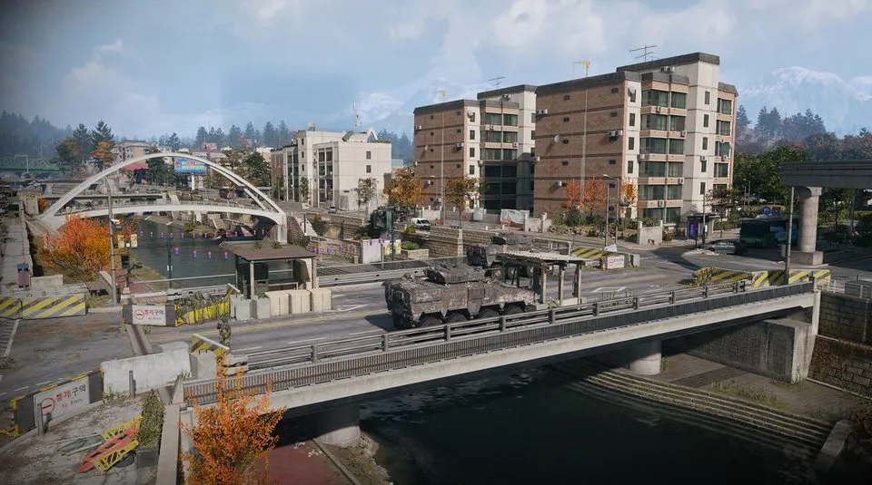
A battered residential district in the southeast, rising towards the South Fork of the Hajin River.
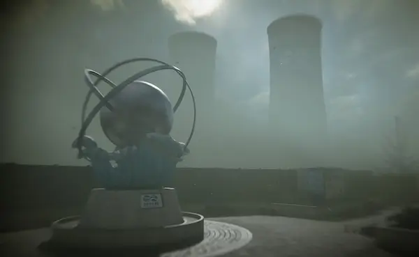
A damaged nuclear plant in the northeast under a cloud of radioactive vapour. Protective gear and a gas mask are required.
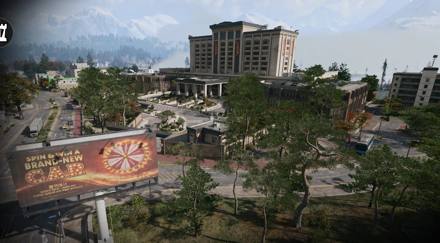
A once-lavish casino over several floors with an underground car park; dark gambling halls where night vision helps.
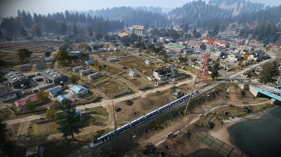
Open rice fields, waterways, farms and rail lines on a low floodplain on the southwestern border, with long sightlines and little cover.
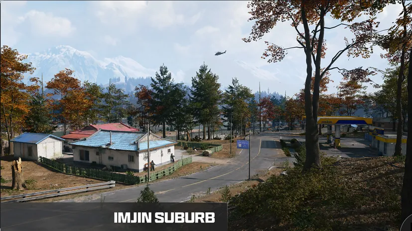
A small hamlet of farm workers on the Hajin River, at the foot of a wooded hill near the railway.
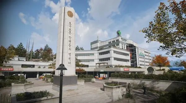
Hajin’s main hospital in the north centre, next to a train station, with triage tents and barracks outside and close-quarters fighting through its wards inside.
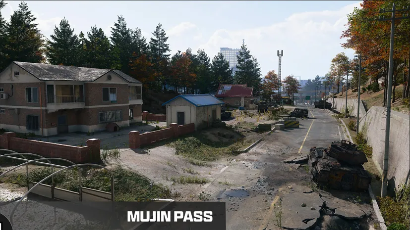
Farmland in a dell between two forests, with the Hospital to the north and the Array to the south.
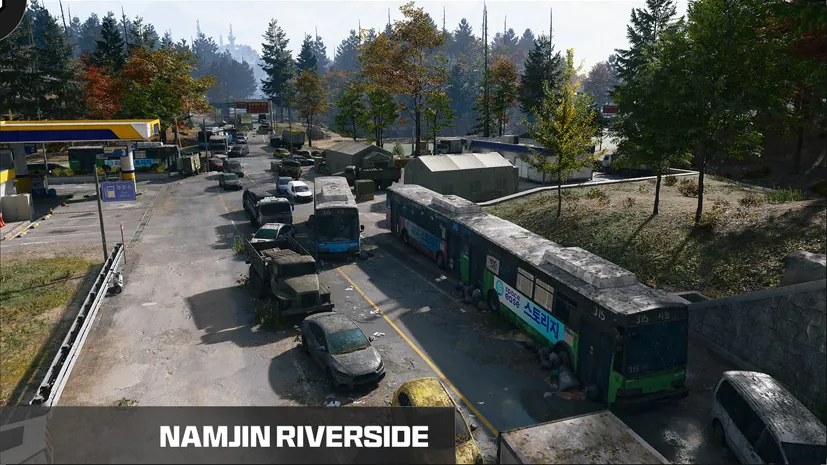
Abandoned civilian cars near a tunnel exit on Hajin’s southern edge, by the South Fork of the Hajin River.
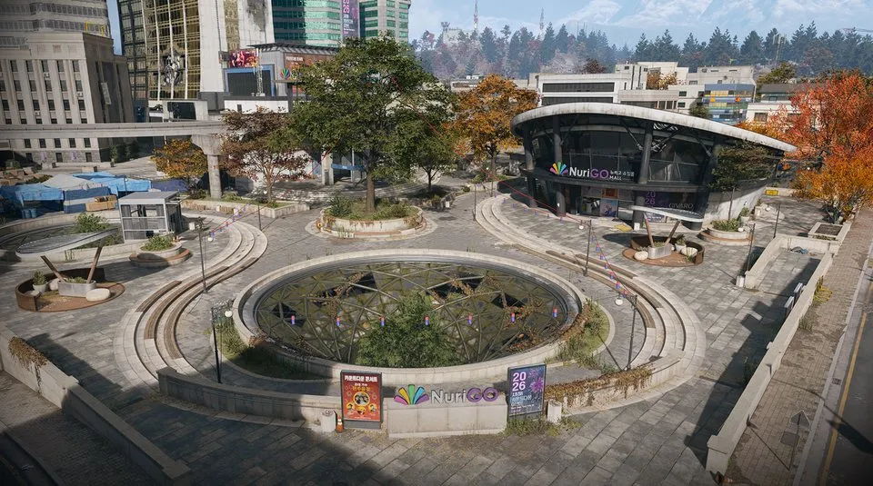
A shopping district in northeast Hajin City with shops, a police station, a clinic and City Hall above a large unlit underground mall.
Houses and farmland west of the Hajin River, with a half-destroyed pontoon bridge for crossing by vehicle.
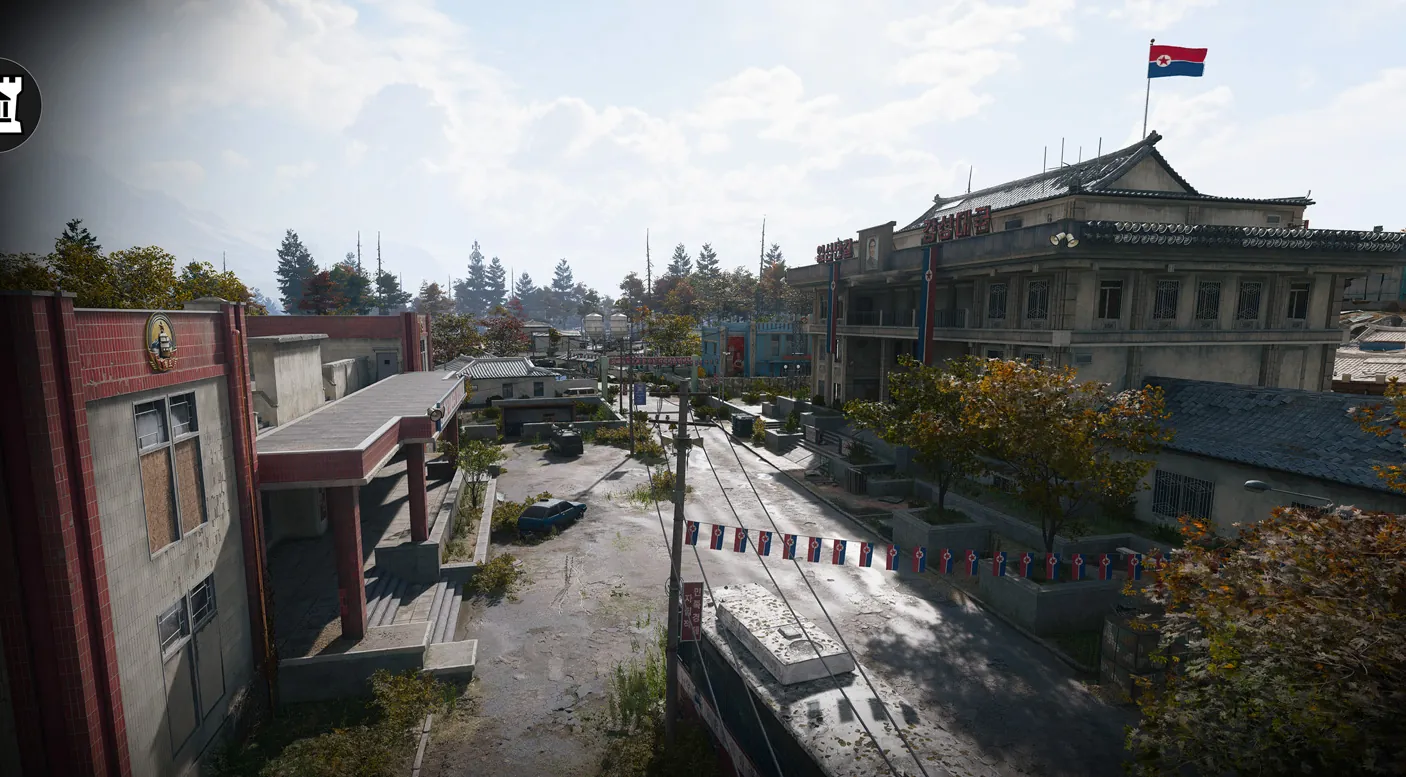
The two central Re-Education buildings, where enemy troops gather in numbers.
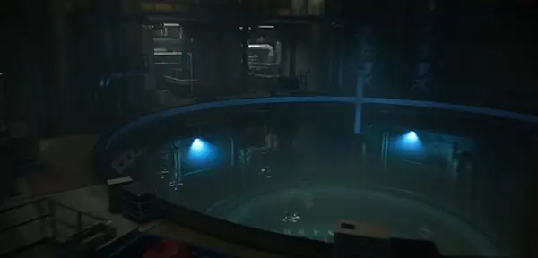
The breached reactor buildings, where the radiation is at its worst.
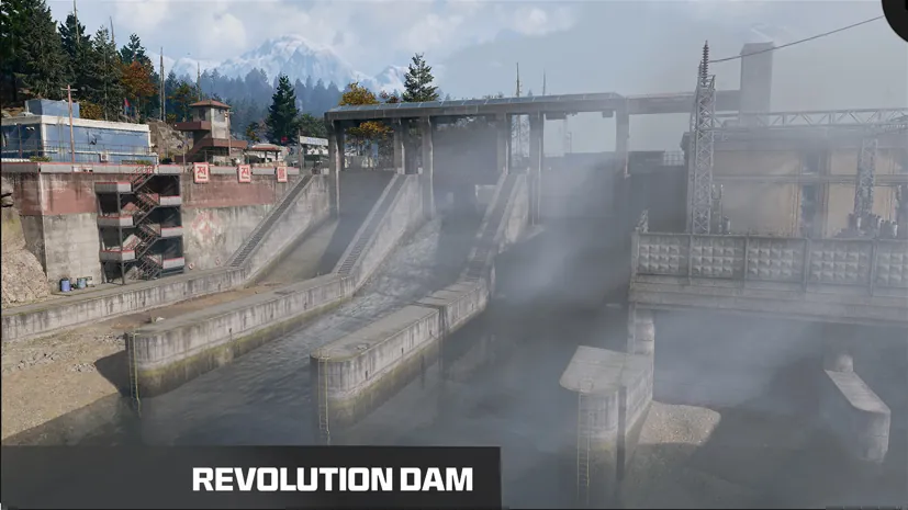
An intact dam guarded by military police, northwest of Tong-il Village.
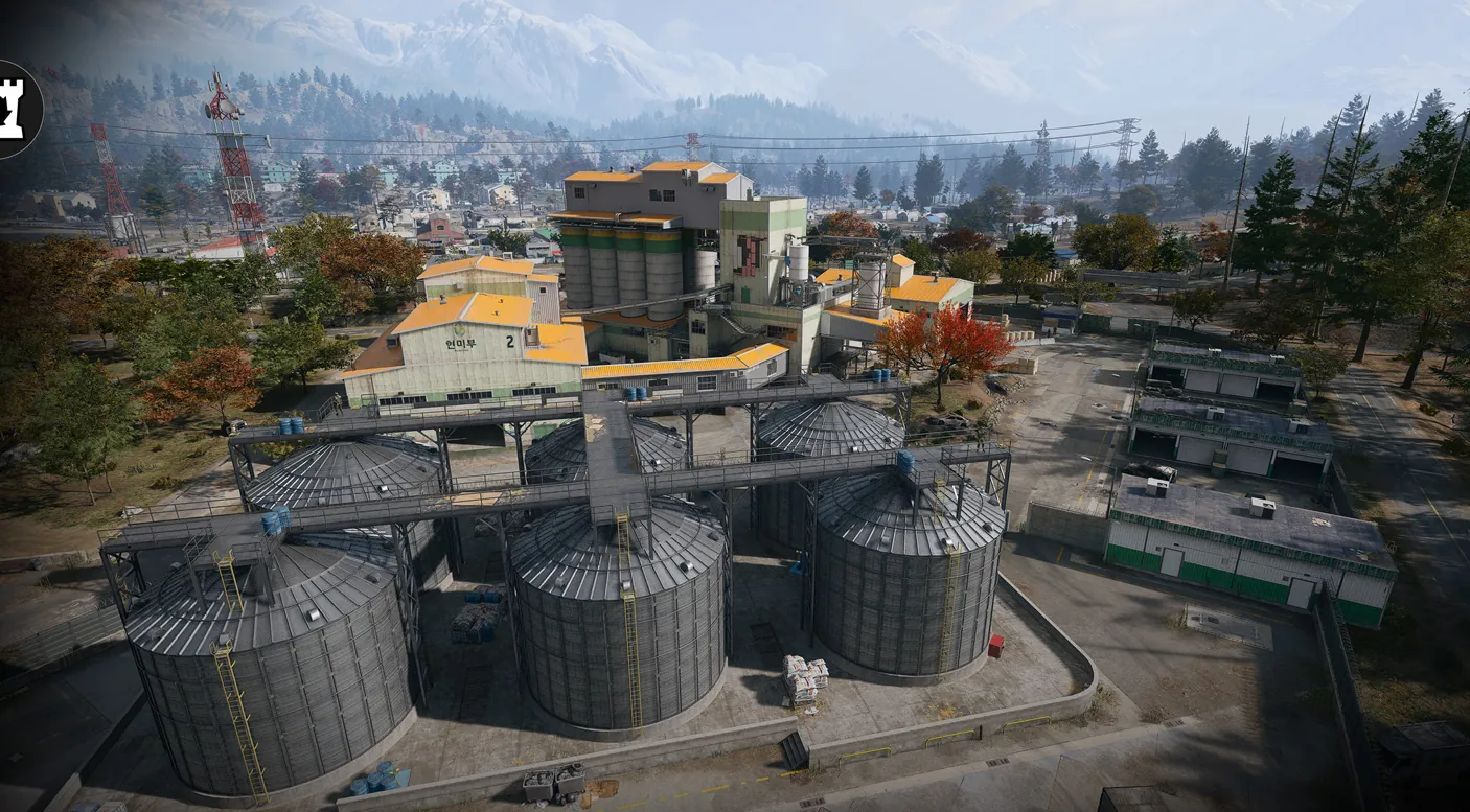
The industrial mill that towers over the farmland, a key elevated position reached through its warehouses.
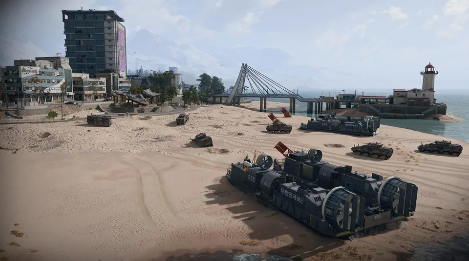
The waterfront of eastern Hajin City: apartments, a market, a pier and lighthouse, and working train and monorail lines.
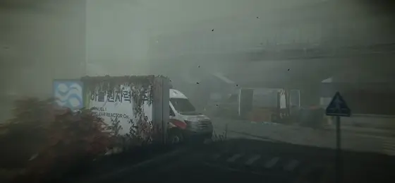
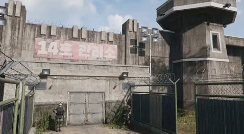
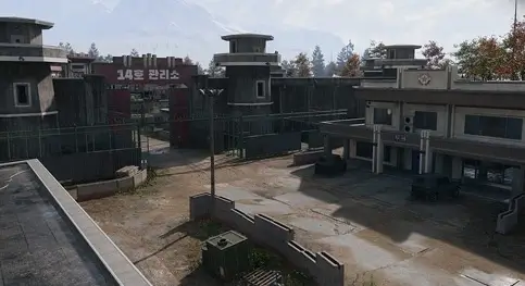
The Y-shaped fortress inside the prison yard: gantries, cell blocks, a furnace and high value targets in a maze where squads are easily cut off.
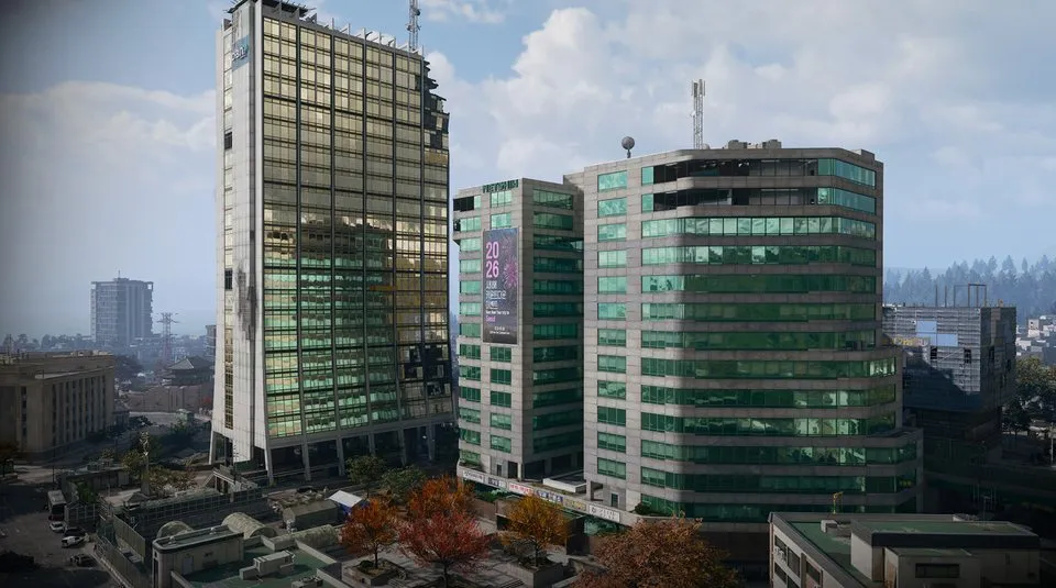
The fortified business district of central Hajin City, walled off with barricades and watchtowers, with fighting on the rooftops and in the streets.
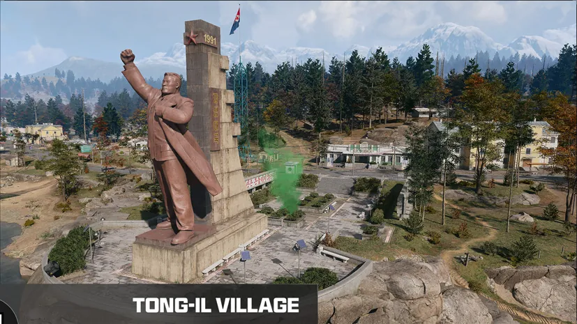
A farming village on the north delta of the Hajin River, under a large statue of a former leader.
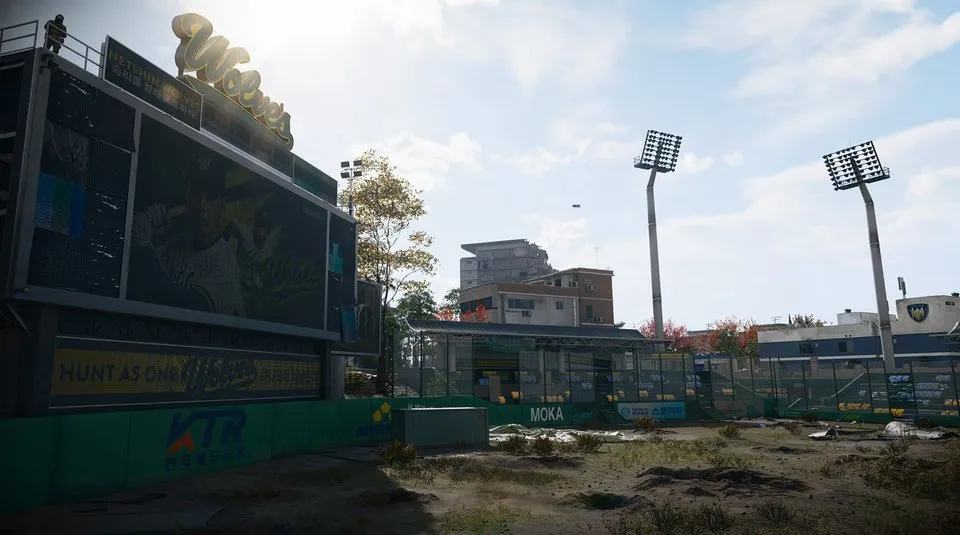
The ruined home of the local baseball team in south central Hajin City, among streets of shops, apartments and a police station.